
EFFICIENT CAD AR STAKEOUT
Enhance project stakeout efficiency by up to 40%
The i76 boosts stakeout efficiency in construction projects by 40% in comparison to traditional surveying methods by integrating CAD base maps with augmented reality (AR) visualization, utilizing GNSS, IMU, AR, and mixed reality (MR) technologies. This offers a comprehensive and intuitive view of site layouts, aiding path planning, minimizing detours, and simplifying tasks like pipeline direction anticipation and foundation building. The AR overlay is particularly valuable for redline reviews, centerline verifications, and optimization of stakeout operations in diverse construction scenarios.


ULTRA-IMU TECHNOLOGY
Boost Accuracy by 30%
The i76 integrates a 5th Gen interference-free Ultra IMU operating at 200 Hz, enhanced by EKF algorithms for optimal measurement accuracy. It includes automatic pole tilt compensation, maintaining accuracy within 3 centimeters even at a 60-degree tilt, and ensuring reliable and user-friendly tilt measurements. The device simplifies operations with its "poke-and-measure" feature, eliminating manual IMU initialization or bubble centering. The IMU functions regardless of the range pole's position, whether handheld, shoulder-mounted, or placed horizontally.
AIR-MEDIUM ANTENNA & HYBRID GNSS ENGINE
Achieve an RTK fix rate of over 96% in solar active regions
The i76 GNSS excels in solar-active and other challenging environments with its 4th Gen air-medium GNSS antenna and hybrid GNSS engine, offering robust tracking of all GNSS constellations and resistance to interference. Enhanced by iStar 2.0 technology, it achieves an RTK fix rate of over 96%, which is ideal for areas with high ionospheric activity. Pairing with CHCNAV base stations, it extends UHF coverage up to 25 km in standard conditions and 5-8 km in areas with obstructed signals, ensuring high-quality data in diverse surveying scenarios.


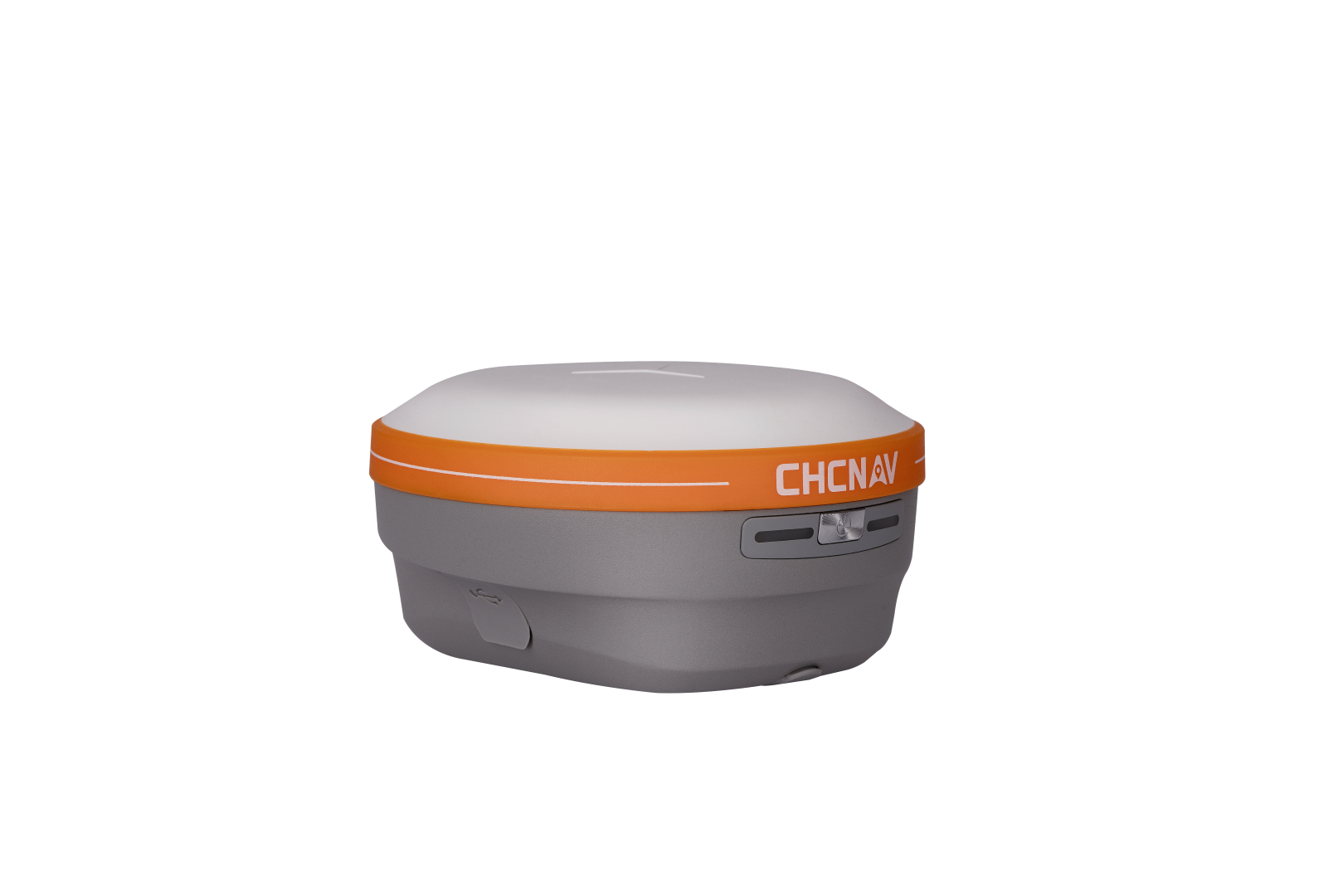
PALM-SIZED WITH GNSS, IMU AND DUAL CAMERAS
Optimize performance with extended endurance and reliable lightweight excellence
The i76 combines lightweight design with rugged durability, weighing just 450g and offering advanced integration of GNSS, Auto-IMU, and dual cameras for seamless surveying. With IP68 protection and 2-meter drop resistance, its durable biomimetic structure and sapphire camera lenses withstand harsh conditions and resist impacts and scratches. Intelligent cloud-based OTA upgrades and an energy-efficient lithium battery provide over 17 hours of continuous operation, ensuring reliability and extended endurance in the field.
OVERVIEW
The i76 Palm Visual RTK is a compact, lightweight surveying tool engineered for precision and user-friendliness in challenging conditions. It features IP68 protection, 2-meter drop resistance, and a robust biomimetic design for enhanced durability. Weighing just 450g, the i76 is 40% lighter and 50% smaller than industry standards. It is equipped with integrated GNSS, IMU, 95° wide-angle dual cameras, a one-button operation, and synchronized LED to improve surveying efficiency significantly. The CAD+AR visual stakeout can enhance the overall project stakeout efficiency by 40% compared to traditional surveying methods.
The i76's 4th Gen air-medium GNSS antenna enhances stability across all GNSS constellations and frequencies, achieving an excellent RTK fixed rate with iStar 2.0 technology, which is particularly effective in regions with high solar activity. Its 5th Gen Ultra-IMU technology improves accuracy by 30%, even when surveying with a 60° range pole tilt. With a powerful battery supporting over 17 hours of continuous use, the i76 is ideal for professionals who value precision, adaptability, and innovation in their surveying work.
Photos


Video
Downloads
For detailed specifications click the button below
Contact us for more information or schedule a demo
Related Products


